

The Challenge
Produce a survey-accurate as-existing model of a seven-storey Grade II listed office building where the historic fabric was significantly non-orthogonal and existing drawings were unreliable.
The Outcome
Full point cloud survey and LOD 300 as-existing model delivered in six weeks. Design team confirmed the model eliminated all survey-related RFIs through Stage 3.
The
What
What
Non-orthogonal geometry
Occupied building
How
The
Retrofit projects on listed buildings present a specific challenge for as-existing surveys: the assumption that walls are plumb, floors are level, and angles are orthogonal does not hold. In a building with 150 years of incremental alteration, the actual geometry can diverge from the architectural drawings by tens of millimetres in ways that have material consequences for services routing and fit-out tolerances.
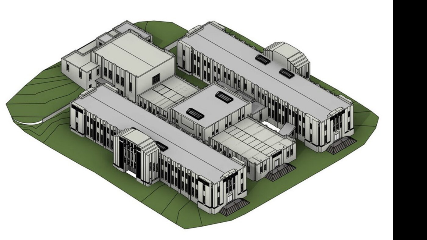
We were commissioned to provide a point cloud survey and as-existing BIM model for a seven-storey Grade II listed office building ahead of a full internal retrofit. The existing drawings dated from a 1990s refurbishment and had not been updated since.
The survey methodology was agreed with the lead architect before scanning commenced: a tolerance specification of ±5mm across all floors, with LOD 300 modelling of all structural elements and major MEP services, and LOD 200 modelling of existing fit-out to be stripped.
Scanning was conducted across seven floors over three days, with 340 scanner positions to achieve the required registration accuracy. The point cloud was processed and the registration error verified before any modelling commenced.
The as-existing model was delivered six weeks after survey completion. The design team confirmed at their first Stage 3 coordination meeting that the model had eliminated all survey-related queries that had been anticipated based on the existing drawings.
What
Technology
“We anticipated a wave of survey RFIs at Stage 3 based on the quality of the existing drawings. The as-existing model eliminated them entirely — the design team worked from it with confidence from day one.”
Associate Director, Lead Architect
Client Representative
More Case Studies
All projects
Audited
Every engagement is delivered against certified management systems — not just claimed adherence.

Information Management
BIM delivery

Quality Management
Process & delivery

Information Security
Data handling

Environmental
Sustainability