
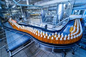
Built
Connect building systems, process requirements and production environments before they reach the factory floor.
Coordinate the Facility Around Production.
We help engineering teams, manufacturers and contractors coordinate these requirements through detailed digital models and engineering information. From factory layouts and process environments to warehouses, oil & gas facilities and production plants, we bring design disciplines together around the operational requirements of the facility.
The objective is not simply to produce a coordinated model. It is to create reliable engineering information that supports equipment placement, piping and services coordination, fabrication, installation and future maintenance.
Process Integration
Coordinate building design with equipment, production lines, utilities and process systems.
Plant & Equipment Coordination
Resolve spatial, access, maintenance and installation requirements around critical equipment.
Production Ready
Connect engineering information with fabrication, manufacturing, installation and operational requirements.
Every
Plant Owners & Operators
Focused on operational continuity, maintainability, asset information and facility performance throughout the project lifecycle.
Engineering & Design Consultancies
Supporting engineering teams handling complex plant layouts, process systems, equipment interfaces and multidisciplinary design packages.
EPC Contractors & Fabricators
Helping delivery teams manage detailed engineering, fabrication interfaces and installation requirements across complex industrial packages.
01
Plant Owners & Operators
Focused on operational continuity, maintainability, asset information and facility performance throughout the project lifecycle.
02
Engineering & Design Consultancies
Supporting engineering teams handling complex plant layouts, process systems, equipment interfaces and multidisciplinary design packages.
03
EPC Contractors & Fabricators
Helping delivery teams manage detailed engineering, fabrication interfaces and installation requirements across complex industrial packages.
The
Every sector brings its own pressure points. These are the ones that shape how we approach every engagement in this space.
The Process Drives the Layout
Equipment positioning, production sequences and material movement influence the arrangement of the entire facility. Digital coordination needs to reflect how the plant will actually operate.
Every Connection Has Consequences
Equipment does not operate in isolation. Piping, electrical services, structural supports, access zones and maintenance clearances all have to connect correctly around major equipment.
Design Must Work Beyond the Model
Piping, steelwork, ductwork and other components eventually have to be fabricated, transported and installed. Detailed digital information helps identify practical constraints before fabrication begins.
Maintenance Needs Space Too
Access routes, equipment clearances, lifting requirements and maintenance zones need to be considered alongside the design itself, particularly in dense process and manufacturing environments.
One Coordinated Process, From Design to Handover.
Understand the Production Environment
Review process requirements, equipment schedules, facility constraints and available engineering information before establishing the digital delivery approach.
Understand the Production Environment
Review process requirements, equipment schedules, facility constraints and available engineering information before establishing the digital delivery approach.
Build the Engineering Context
Develop coordinated models and layouts around equipment, process systems, structure, utilities and building services rather than treating each discipline independently.
Resolve Interfaces Before Fabrication
Identify spatial conflicts, access limitations, connection issues and installation constraints while changes can still be made efficiently.
Deliver for Fabrication & Construction
Produce coordinated engineering information that supports fabrication, procurement, installation, construction sequencing and future facility requirements.
Multi-Discipline
Plant, process, structural, MEP and equipment information coordinated within one delivery environment.
Fabrication-Ready
Detailed information developed with downstream manufacturing and installation requirements in mind.
Process-Led
Layouts developed around actual production, equipment and operational requirements.
Lifecycle
Engineering information structured to remain useful beyond initial construction.
What sets this apart.
We bring engineering design, BIM coordination and digital information together so industrial teams can resolve complex interfaces before they become fabrication or site problems.
Talk to usProcess-Aware Coordination
We consider how equipment, materials, utilities and people move through the facility rather than coordinating geometry in isolation.
Engineering Depth
Our capabilities extend across MEP, structural, architectural, industrial and process engineering, allowing complex interfaces to be addressed within one delivery environment.
Fabrication-Focused Detail
Models and drawings can be developed with fabrication, assembly, installation and technical detailing requirements in mind.
Information That Stays Useful
Structured engineering and BIM information can support construction, commissioning, asset management and future facility modifications.
We're building out our published case-study library for industrial & manufacturing — browse the full project portfolio to see the same coordination standard applied across sectors.
View all projectsQuestions
Explore
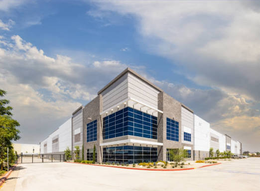
Commercial & Office
Coordinate design, construction and building information around demanding commercial programmes, from early design through fit-out, handover and operations.

Healthcare & Life Sciences
Coordinate complex clinical, laboratory and building systems where precision, compliance and continuity matter.
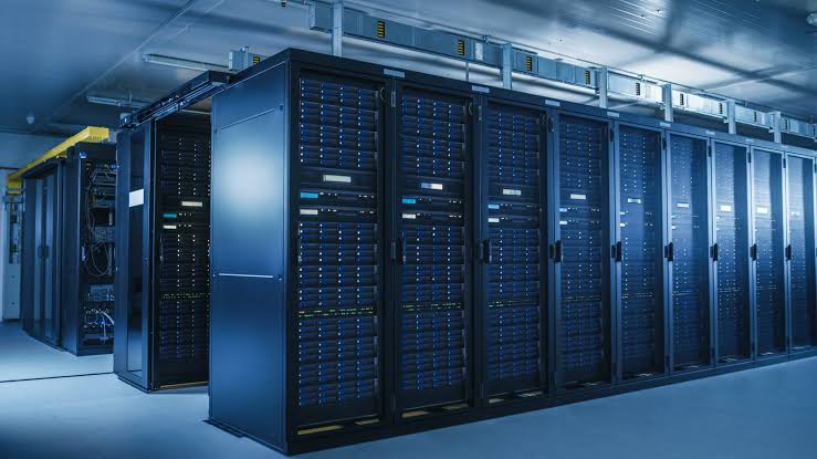
Data Centres & Mission-Critical
Coordinate high-density systems and critical infrastructure where every interface, clearance and sequence matters.
Audited
Every engagement is delivered against certified management systems — not just claimed adherence.

Information Management
BIM delivery

Quality Management
Process & delivery

Information Security
Data handling

Environmental
Sustainability